
The Manitou Islands are the southernmost of an island chain that extends north to the Straits of Mackinac. The chain is the crest of a high ridge line formed by a titled layer of limestone which was buried by glaciers under a layer of rock, gravel and sand. The melting glacier covered all but the tops of these ridges. North Manitou Island features spectacular dunes as well, including the Pot Holes and a ghost forest caused by shifting sands. The perched dunes at the south end of South Manitou Island are so named because the dunes sit atop the high, limestone bluffs. These dunes can be reached by continuing on the trail from the Valley of the Giants. Be warned: it's a rather long hike for those on a day trip. You may wish to consider camping on the island. | 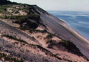 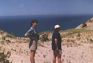 |